echo To bounce back. For example, sound bouncing off walls of a tunnel, and returning to their source. Radio waves emitted above the surface can also bounce off the bedrock underneath an ice sheet — then return to the surface.
echolocation (in animals) A behavior in which animals emit calls and then listen to the echoes that bounce back off of solid things in the environment. This behavior can be used to navigate and to find food or mates. It is the biological analog of the sonar used by submarines.
laser A device that generates an intense beam of coherent light of a single color. Lasers are used in drilling and cutting, alignment and guidance, in data storage and in surgery.
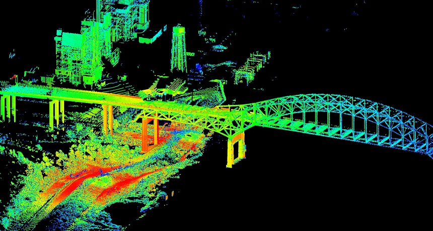
lidar (short for light detection and ranging) A tool to measure the shape and contour of the ground from the air. It bounces a laser pulse off a target and then measures the time (and distance) each pulse traveled. Those measurements reveal the relative heights of features on the ground struck by the laser pulses.
navigate To find one’s way through a landscape using visual cues, sensory information (like scents), magnetic information (like an internal compass) or other techniques.
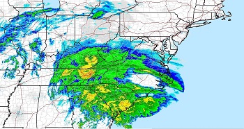
radar (short for radio detection and ranging) A system for calculating the position, distance or other important characteristic of a distant object. It works by sending out periodic radio waves that bounce off of the object and then measuring how long it takes that bounced signal to return. Radar can detect moving objects, like airplanes. It also can be used to map the shape of land — even land covered by ice.
radio waves Waves in a part of the electromagnetic spectrum; they are a type that people now use for long-distance communication. Longer than the waves of visible light, radio waves are used to transmit radio and television signals; it is also used in radar.
range The full extent or distribution of something. For instance, a plant or animal’s range is the area over which it naturally exists. (In math or for measurements) The extent to which variation in values is possible. Also, the distance within which something can be reached or perceived.
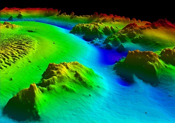
sonar (short for sound navigation and ranging) A system for the detection of objects and for measuring the depth of water. It works by emitting sound pulses and measuring how long it takes the echoes to return.
sound wave A wave that transmits sound. Sound waves have alternating swaths of high and low pressure.
ultrasound (adj. ultrasonic) Sounds at frequencies above the range that can be detected by the human ear.


