QUESTIONS for Laser Vision Reveals Hidden Worlds
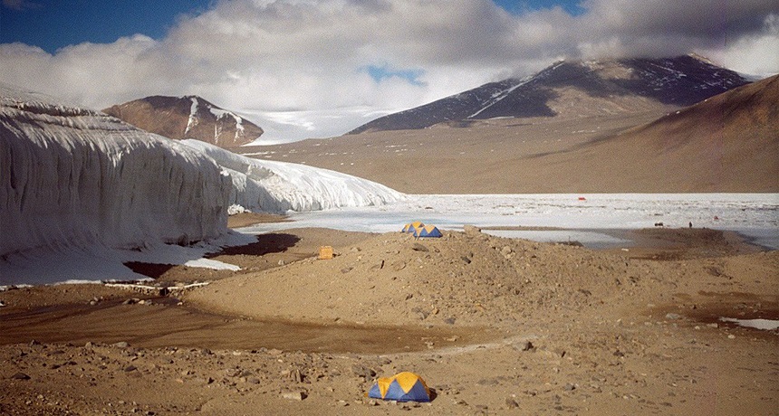
Researchers have been using lidar to study changes in the McMurdo Dry Valleys, in Antarctica. This photo shows a field camp.

Researchers have been using lidar to study changes in the McMurdo Dry Valleys, in Antarctica. This photo shows a field camp. 

Peter West/National Science Foundation

SCIENCE

Before reading:

1.    Brainstorm with a partner, making a list of technologies that can be useful for making maps.

2.    How can an entire city become lost in time?

During reading:

1.    Why is the Caracol site so difficult to explore and map?

2.    What is lidar?

3.    Explain what researchers fired 4 billion times into the jungle.

4.    List some of the features revealed by lidar at Caracol.

5.    Describe some other applications of lidar technology.

6.    What is the advantage of newer lidar systems that use multiple colors?

7.    How long would it take to map Caracol from the ground? How long would it take using lidar?

8.    How was Angkor Wat laid out?

9.    Where are the Dry Valleys and why are they sinking?

10. What unexpected thing did the lidar survey of the Dry Valleys capture?

After reading:

1.    In what ways are radar, sonar and lidar similar? How are they different?

2.    Did the lidar data support the Chases’ hypothesis that Caracol was an important city? How? Provide examples of any evidence cited in the story.

3.    Examine the lidar image of Caracol used to illustrate the story. Describe the largest structures that appear in the image. What purpose do you think they served? Explain your reasoning.


SOCIAL STUDIES

1.    Sketch a map of the Maya civilization at its greatest extent. Mark the present-day boundaries of Mexico, Belize, El Salvador, Guatemala and Honduras. How do they compare?